Media Releases
JCU scientists are mangrove CHAMPs
James Cook University scientists are creating a comprehensive map of coastal areas that they plan to become a “Street View for coastlines.”
A JCU team is mapping tidal wetlands via photography from air, sea, land and space. The results will feed into their Coastal Habitat Archive and Monitoring Program (CHAMP – see link below).
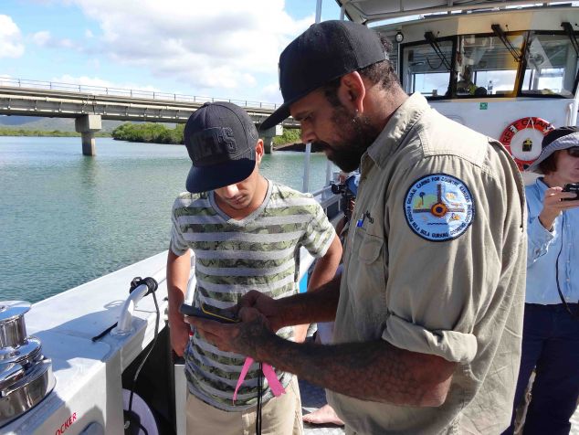
The study is being done on behalf of Gladstone Ports Corporation and involves indigenous rangers from the Gidarjil Development Corporation and local community volunteers.
It will monitor the condition of shorelines, specifically tidal wetlands (mangroves, saltmarsh, saltpans), in the Port Curtis and Port Alma region as part of the company’s Environmental Research and Monitoring Program. (See link below).
JCU’s Dr Norm Duke said the result will be a detailed assessment of tidal wetland habitat and shoreline stretching from the Fitzroy River mouth east of Rockhampton to Rodds Bay north of Seventeen Seventy. It will include river estuaries and shoreline and will detail coastal habitat extent, condition and change over time.
He said the data will be a boon for scientists, environmental managers and those who like to fish. With a unique view from helicopters and boats.
“We can show things you can’t see from a satellite. When you look straight down you can’t easily see tree height or dieback to the same extent. From the air and from boats, you get an oblique and lateral view that allows you to see processes and indicators of change over larger areas, like impacts by storms, flooding, sea level rise, pollution and other damage.”
He said eventually the system would mature to the point where a user could select a location and see a picture of that place and also see how it had changed over time.
“At the moment, we don’t have smart ways to systematically evaluate what is happening to our shorelines. And, big changes are expected, as shoreline development expands, with pollution events, coupled with severe storms, sea level rise and other aspects of climate change. We really need to know how our coastal environments are changing.”
Dr Duke said mangroves and saltmarshes were critical parts of the shoreline environment. “Three quarters of seafood species depend on tidal wetlands, and mangroves have a huge role in reducing storm surges, flooding and cyclone impacts. They store five times more carbon than other forests, and trap up to 80 percent of land-based run-off.”
They are also an early warning system. “If there are changes in coastal environments, mangroves are going to show them. So, healthy mangroves mean healthy upstream catchments, and healthy seagrasses and corals,” he said.
The data will become part of an open data archive, available free of charge to anyone who can make use of it. Dr Duke said the plan was to eventually map and risk evaluate Australia’s entire coastline in the same way.
Contact: Dr Norm Duke
Videos of the program: https://vimeo.com/141140266 https://vimeo.com/141140268
Pics of mangroves and volunteers and CHAMP annual report PDF: http://bit.ly/1MgjnxQ
Gladstone Ports Company Environmental Research and Monitoring Program: https://gpcl.com.au/environment/environmental-monitoring/