JCU scientists set sail
A James Cook University marine geologist will serve as Chief Scientist on this week’s transit voyage of CSIRO research vessel (RV) Investigator, mapping the seafloor off Australia’s east coast and helping protect the environment and shipping.
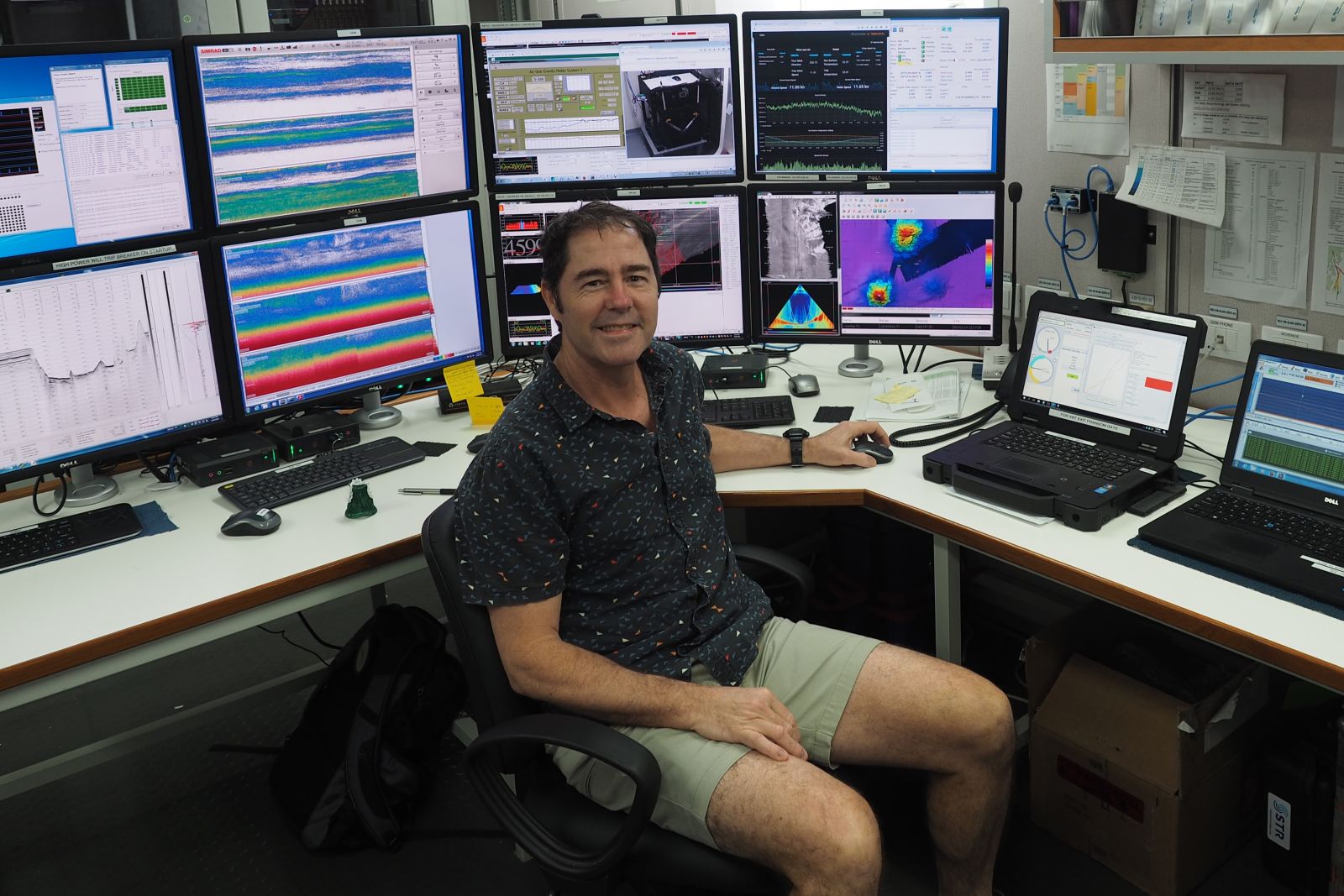
Dr Robin Beaman, recently appointed a Member of the Order of Australia for his work mapping the Great Barrier Reef, said the seven- day voyage from Hobart to Brisbane, departing Thursday 16 July, will be used to map the seafloor along the route.
“At the moment we have only low-quality seabed data in the area. But with RV Investigator’s advanced deep-water multibeam echosounders in play we will be able to see seafloor features to about 30 metres in scale. So we’ll certainly get submarine canyon details and any underwater landslides, shipwrecks or extinct underwater volcanoes that may be down there,” said Dr Beaman.
The seabed mapping will be delivered in collaboration with Australia’s national science agency, CSIRO, Geoscience Australia and other scientific colleagues.
JCU Masters research student Katherine Wang will be working on the voyage. She said the commitment to seabed mapping is more than just scientific curiosity.
“It provides important information for safe navigation, marine planning, environmental management and scientific research. It’s also used to identify hazards, support fisheries management, assess tsunami and coastal risks and guide offshore energy and infrastructure development,” said Ms Wang.
She said her particular area of interest is the development and use of technology to help scientists collect accurate, large-scale information about Earth’s surface.
“The information we can collect through satellites, drones and sensors adds to and improves our understanding of the natural world, especially landscapes and environments that are difficult, dangerous or impossible to access directly.
“Geoscience technology allows us to monitor environmental changes and map landscapes. The accurate data and large area covered supports scientific research that seeks to improve the way we manage natural resources, respond to natural disasters, preserve the environment and plan infrastructure,” said Ms Wang.
As well as the seafloor mapping project, four other projects will be undertaken on the voyage, including investigating the influence of heatwaves on marine biodiversity, studying carbon transfer from the coast to the ocean and the testing of a seafloor lander to monitor marine life in Antarctica.
This research is supported by a grant of sea time on RV Investigator from the CSIRO Marine National Facility.
Link to images of the RV Investigator and Dr Beaman here. Please credit CSIRO.
More Information
Media Enquiries:
Ms Katherine Wang
katherine.wang1@my.jcu.edu.au
Published:
15, July 2026