Seagrass data mapped
Seagrass meadows are vital to the health of the Great Barrier Reef (GBR) - and now JCU scientists have analysed more than 35 years of data on seagrass and produced a map planners can use to help protect the Reef.
Dr Catherine Collier from James Cook University’s Centre for Tropical Water and Aquatic Ecosystem Research (TropWATER) said at around 350,000 square kilometres, the GBR is one of the world’s largest seagrass resources.
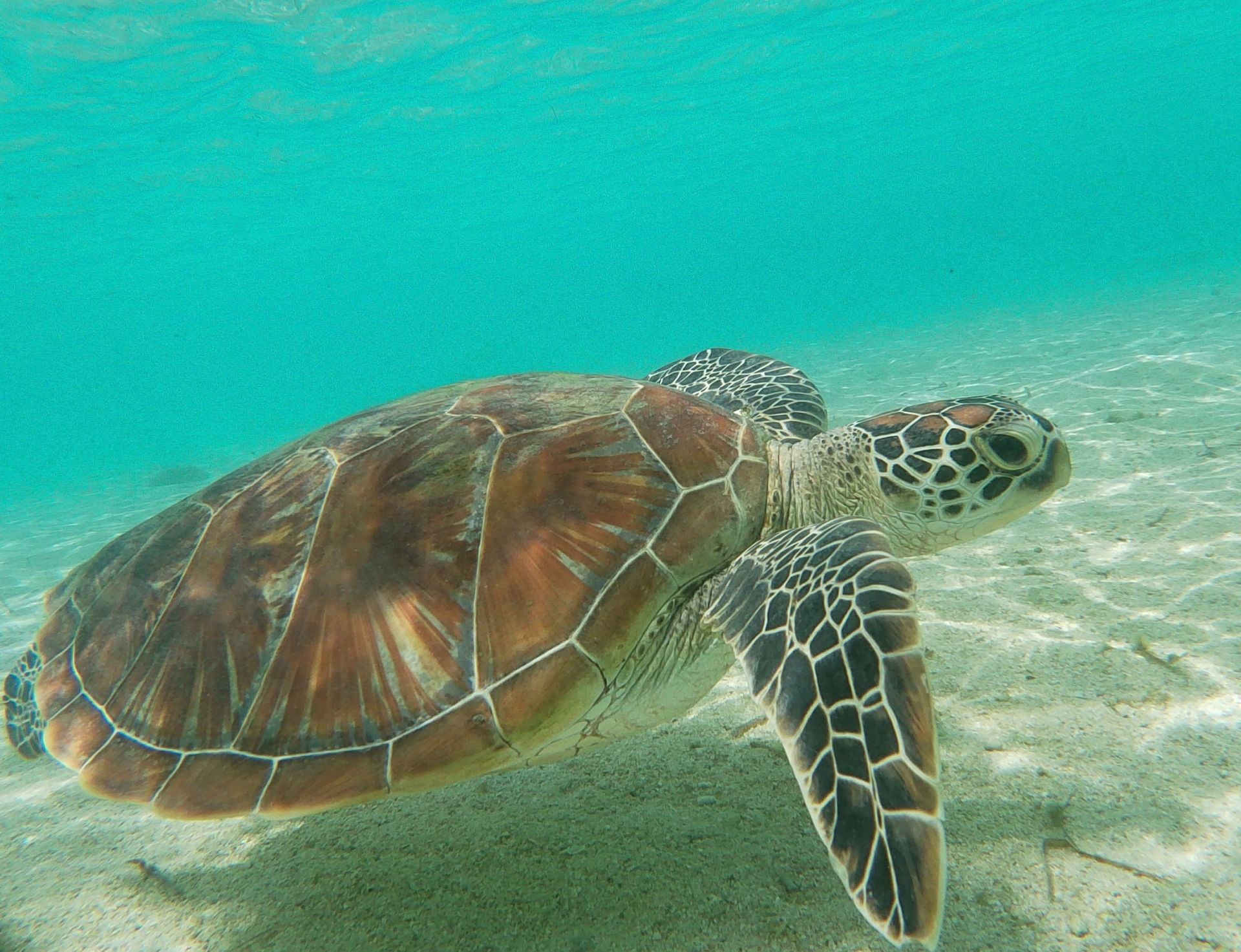
“Seagrass meadows provide food and shelter for fish and crustaceans, dugong and green sea turtles. They perform nutrient cycling, particle trapping, and removal of bacterial pathogens and are a valuable marine carbon sink.
“But at the same time, they are vulnerable to a number of threats, often stemming from human activities that produce pollutants and sediment and which can have catastrophic consequences,” said Dr Collier.
She said the scale and complexity of marine habitats and the high cost of sampling them means the data used by marine environmental managers is often less precise than for equivalent land-based environments.
“We wanted to provide a foundation to monitor, establish trends and manage the protection of seagrass meadows in the GBR, so we quantified potential seagrass communities using a blend of computer modelling and more than 35 years of environmental data and seagrass sampling history,” said lead author Dr Alexandra Carter, also from JCU’s TropWATER.
She said the scientists identified more than 88,000 square kilometres of potential seagrass habitat in intertidal and subtidal areas of the GBR.
“We also showed that the structure, location and distribution of the seagrass communities is the result of complex environmental interactions including depth, tidal exposure, latitude, current speed, benthic light, proportion of mud in the sediment, water type, water temperature, salinity, and wind speed,” said Dr Carter.
She said the team had taken a very large and complex data set and simplified it into a form that can be used for planning and management decisions.
“Our analysis will underpin spatial planning, it can be used in the design of monitoring programs to represent the diversity of seagrass communities, and will help our understanding of the environmental risk to these habitats. It’s a step in the right direction if we want to maintain a healthy environment into the future.”
This project is supported with funding from the Australian Government’s National Environmental Science Program.
Link to images and video here.
Link to paper here.
More Information
Media Enquiries:
Dr Alex Carter
E: alexandra.carter@jcu.edu.au
Dr Catherine Collier
E: catherine.collier@jcu.edu.au
Published:
26, November 2021